
What We Do
We build data infrastructure, predictive science, and accessible tools to advance sustainable agriculture.
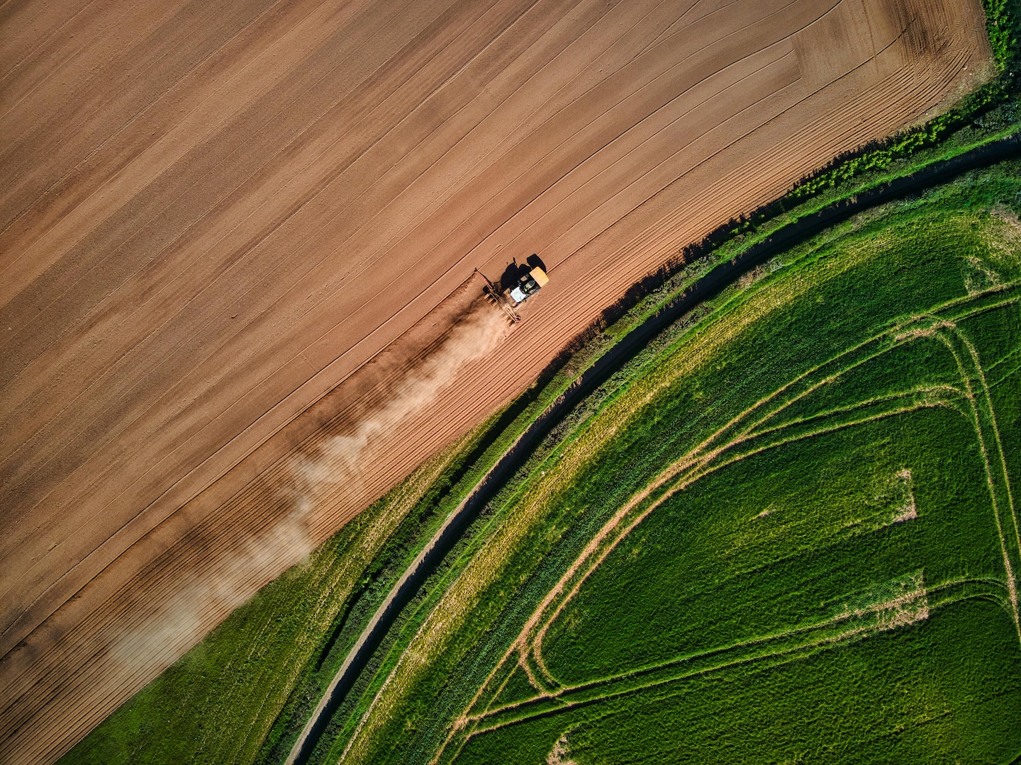
National Soil Database
Aggregated soil and management data from across the US—secure, public-trust infrastructure.
How it works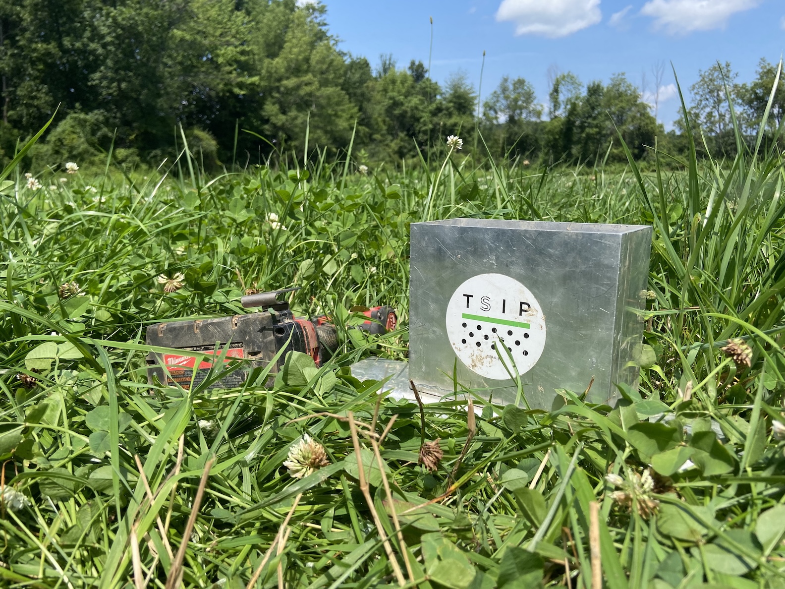
Measurement Tools
Tools for uploading soil data, comparing results, and accessing modeling predictions.
Explore tools
Regional Baselines
Reference points showing typical conditions for your region, soil type, and management system.
View baselines
Ensemble Modeling
Multiple independent models combined for accurate practice impact forecasts.
Ensemble modelingNational Soil Database
Agricultural data is scattered across thousands of private databases or never collected at all—making it nearly impossible to understand which practices work, where they deliver benefits, or how to reward farmers doing the right thing.
We aggregate soil and management data from across the United States into a single, secure database that serves the public good—not private profit.
What's included: Soil measurements, management practices, weather data, yield records, satellite imagery, and more.
Data sources: Farmers using our field kits, labs and ag-tech companies, research collaborations, and public databases.
- Why it matters:
- Farmers: Your data stays private and secure while contributing to better information for all producers. You control sharing preferences. We never sell your data.
- Data partners: Share data securely and privately. Receive insights with cross-industry context no single organization could generate alone. Advance the entire sector without competitive risk.
- Researchers: Access comprehensive datasets at industry relevant scale.
- Policymakers: Design effective programs to support farmland stewardship based on unbiased information.
- The larger our database grows, the more accurate our predictions become.
- Learn More
- Partner with us
Ensemble Modeling
Ask three agricultural models what happens when you add cover crops, and you'll get three different answers. This uncertainty stalls progress—farmers hesitate, investors hold back, markets can't verify claims.
The solution: TSIP is championing the use of Ensemble Models in agriculture.
Our co-founder, Dr. Bruno Basso recently published the first agricultural Multi-Model Ensemble (MME) for the Midwest. This paper demonstrates the benefits of using an MME to reduce bias and uncertainty, while also highlighting some limitations of working with a single model.
This MME combines eight independent, peer-reviewed models—each with different strengths—into a single, more accurate soil carbon prediction system.
What it predicts: Soil carbon changes, greenhouse gas emissions, crop yields, water quality impacts, soil health indicators.
Current coverage: Midwest corn-soy systems (12 states, 934 counties) with seasonal to 30-year projections. We're expanding to new crops, geographies, and management scenarios.
Learn More Try Midwest Ensemble Explorer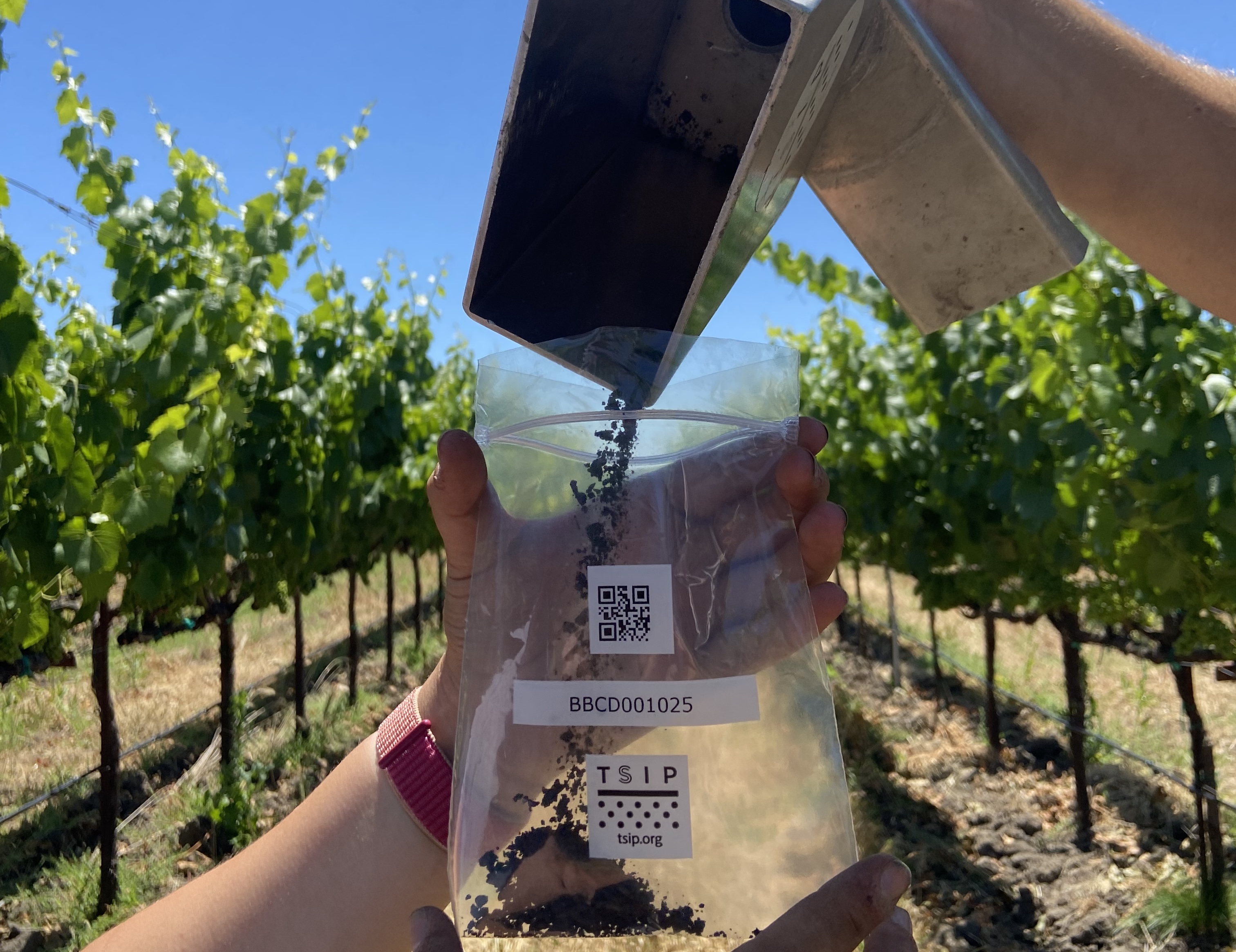
Measurement Tools
We've developed tools that work with soil data from any source—whether you collect samples yourself, use an existing service, or work with partner labs. These tools make professional-grade analysis accessible to operations of any size.
Available tools:
Fieldvision platform
Web and mobile system for sampling design, field navigation, sample tracking, lab result upload, and automated analysis
Midwest Ensemble Explorer
Visualize modeling predictions for Midwest corn-soy systems
Field sampling kit
Professional-grade hardware for distributed data collection (drill-auger system proven 2-3x faster than traditional methods)
Explore our toolsRegional Baselines
Without knowing what's typical for your region, soil type, and cropping system, you can't accurately assess practice impacts.
We develop dynamic, science-based baselines that account for ongoing changes in agricultural systems—not static assumptions from decades-old data.
What they enable: Producers can compare operations, predict practice impacts, and understand starting points for carbon programs. Markets get fair accounting that rewards early adopters. Policymakers can target incentives where practices deliver the greatest benefits.
Current status: Midwest baselines covering 934 counties are accessible through the Midwest Ensemble Explorer. Expansion to additional regions underway.
Try Midwest Ensemble ExplorerReady to collaborate?
Partner with us to share data, join research, or support our mission.
Want to explore our tools?
Access modeling predictions, measurement resources, and analysis platforms.